The Eastern Plains - The beginning
Orinoquía region, also known as the eastern plains, is one of the most fascinating natural regions of Colombia, yet is often overlooked by travellers here due to the vastness and remoteness of this region, starting with the complicated trunk road RN 40 from Bogotá to Villavicencio.
The end of the Andes mountains
A drive through the plains
Geographical ExtentThe Eastern Plains covers the departments of Meta, Casanare, Vichada, Guaviare, parts of Cundinamarca and Boyacá. Although there are some cities in this region such as Villavicencio, the capital of Meta department, which is the 11th largest in Colombia and Yopal, the capital of Casanare department, this region is rural, remote, fertile and full of culture, gastronomy, music and dance
Villavicencio is affectionately referred to as Villao (Vee jaa oo) and is considered as ‘Puerto Del Llano’ or ‘Gateway to the plains’.
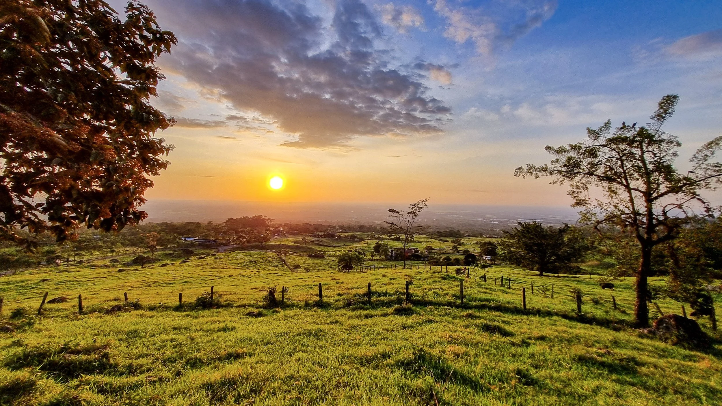
This region is also known for beautiful and endemic birds and animals that are not seen anywhere else in the world. Rivers of this region form part of the Orinoco river system which is the fourth largest river system in the world by discharge.
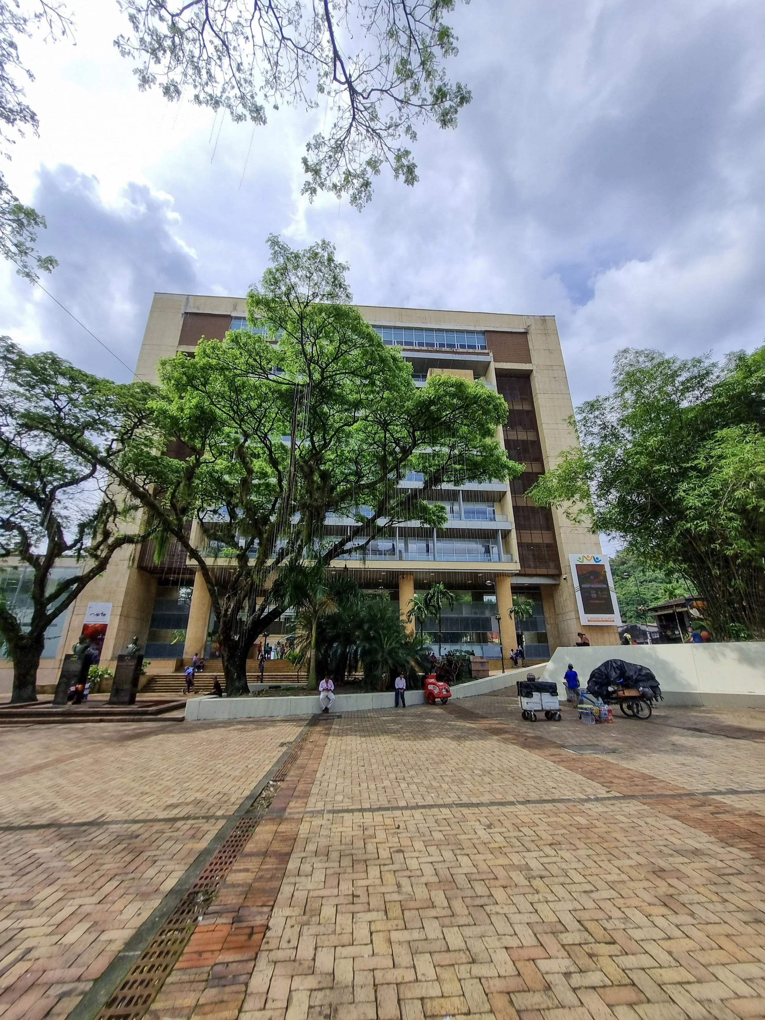
Governorate of Meta, Villavicencio
The Colombian CowboysA farm in the plains
My connection with the plainsThis region is commonly associated with the Colombian cowboys, locally known as “El Llanero”. The region is characterized by huge ranches, farms growing rice, corn, sugarcane, fruits such as pineapple, banana, borojo, orange, papaya, mango, water melon, legumes etc. Taking into account the proximity to the equator, this region has no major seasonal variations, similar to most other regions of Colombia.
I have been visiting the plains ever since I met my wife and she has family in this region. Each time I visit here, I end up finding something new about the region that I did not know about before. Let me know if you need the backstories and my association with the plains, and of me transitioning my character from ‘Amigo del llanos’ to 'Yerno del Llanos’, that is from being the friend of the plains to becoming the son-in-law of the plains.
The river Upín rises from the Andes and flows into the Guacavia river, part of Orinoco river system
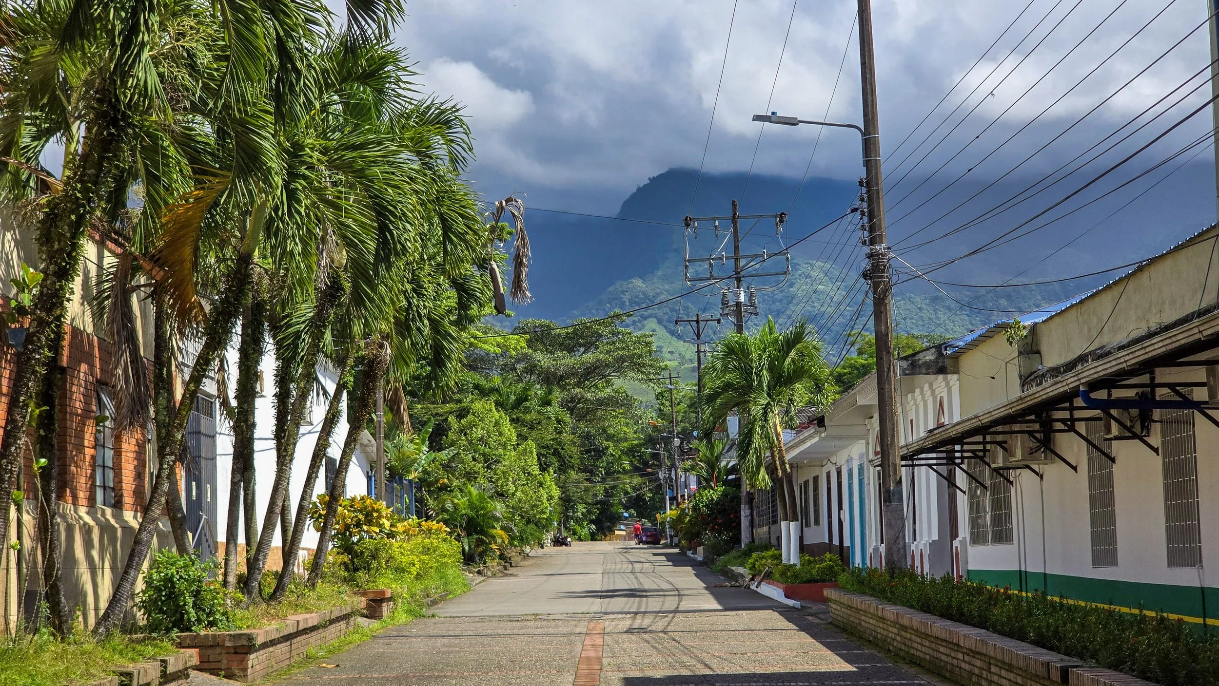
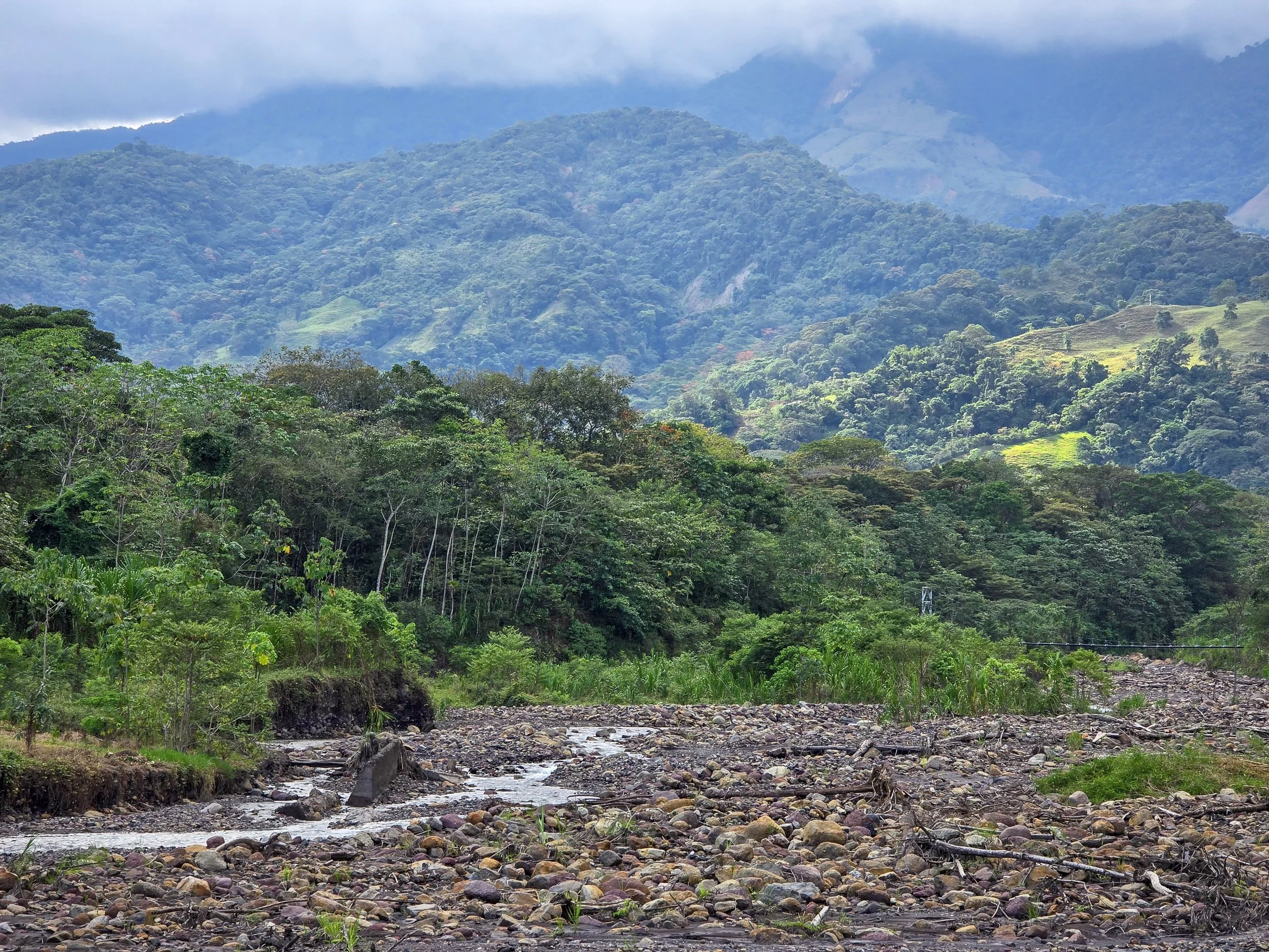
Municipality of Restrepo is located on the foothills of the Eastern Andes mountains
Restrepo. Meta
Restrepo, is a small town of Meta department, located about an hour from Villavicencio, located in a sub region called the piedemonte. Piedemonte refers to the foothills of the Andes mountains as they give way to the vast plains. Restrepo, is located on the highway RN65 that connects Villavicencio with Yopal, two of the biggest urban centers of this region.
RN 65 is the lifeline of the Piedemonte subregion.
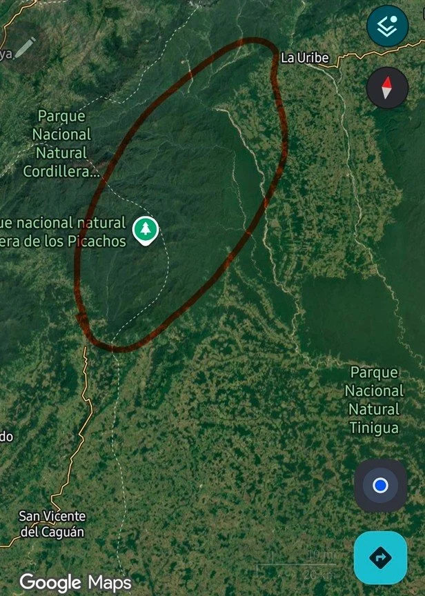
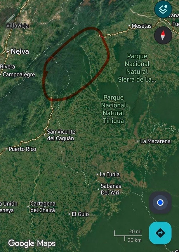
RN 65 trivia:
Although the RN 65 starts from Villagarzón, Putumayo, there is a crucial missing link between San Vicente del Caguán, Caquetá on the western side of the Eastern Andes to La Uribe, Meta or to Puerto Rico, Meta on the eastern part of Eastern Andes.